
The quick answer: the Las Vegas Strip is 4.2 miles long (6.8 km), stretching from Mandalay Bay on the south end to the STRAT on the north end. That distance sounds walkable, and it is, but the reality on the ground feels very different from what the map suggests.
Between the desert heat, the crowds, the sheer size of the casino-resorts you’re walking past (and sometimes through), and the elevated crosswalks that add extra steps, most visitors underestimate how long it actually takes to cover the Strip on foot. A casual walk with stops can easily eat up three to four hours or more.
At Another Side Tours, we’ve spent nearly two decades guiding visitors through Las Vegas, and the Strip’s layout is one of the first things we help people understand. Knowing the actual distances, and how to make the most of them, saves you time and keeps your feet from staging a revolt. This guide breaks down the Strip’s exact length, realistic walk times, and practical tips so you can plan your visit with real numbers instead of guesswork.
What the Las Vegas Strip includes and excludes
Before you start planning how long is the Las Vegas Strip going to take you to cover, it helps to know what actually counts as "the Strip." The term gets used loosely, and that loose usage causes real confusion when you’re trying to estimate distances or figure out where to start your day.
What counts as the Strip
The Las Vegas Strip refers specifically to Las Vegas Boulevard South, roughly from Mandalay Bay at the southern end to the STRAT Hotel at the northern end. This corridor runs through the unincorporated communities of Paradise and Winchester, which means it technically sits outside Las Vegas city limits. The city of Las Vegas governs Fremont Street and Downtown, not the Strip. That distinction surprises most visitors.

The Strip and Downtown Las Vegas are about 1.5 miles apart, so treating them as the same area when planning your day will cost you time.
The major casino-resorts you picture when someone says "Las Vegas" – MGM Grand, Caesars Palace, Bellagio, The Venetian, Wynn, Encore – all sit within this roughly 4-mile stretch of Las Vegas Boulevard South. These properties, their connecting pedestrian bridges, and the boulevard itself make up what locals and guides mean when they say "the Strip."
What falls outside the Strip’s boundaries
Downtown Las Vegas, including the Fremont Street Experience, is a separate destination. It has its own character and its own set of casinos, but it is not part of the Strip measurement. Similarly, properties like the Palms or the Rio sit several blocks west of Las Vegas Boulevard and are not counted in the Strip’s length. If you plan to visit those areas on the same day, factor in additional travel time beyond the 4.2-mile corridor.
Exact length in miles and kilometers
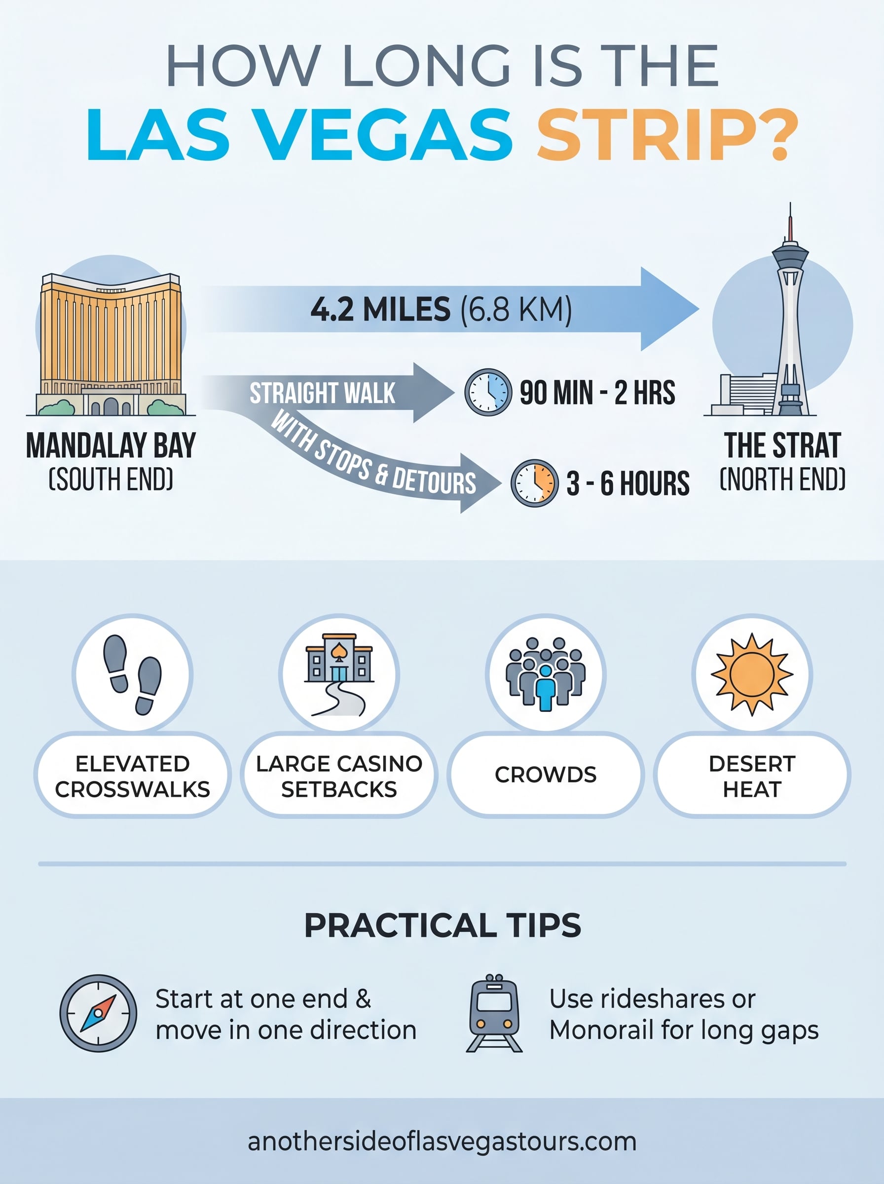
When people ask how long is the Las Vegas Strip, the cleanest answer is 4.2 miles, which converts to approximately 6.8 kilometers. That single number covers the full length of Las Vegas Boulevard South from Mandalay Bay to the STRAT.
The official measurement
The 4.2-mile figure represents the straight-line distance along Las Vegas Boulevard South from one end to the other. If you walk in a perfectly straight line without entering any properties or crossing any elevated pedestrian bridges, you cover that exact distance. Most visitors, however, do not walk in a straight line, which is why your actual steps will exceed the baseline distance by a noticeable margin.
A rough estimate: expect to walk 5 to 6 miles total if you enter several casino-resorts and use the pedestrian crosswalks.
Why the number understates the reality
The Strip’s casino-resorts are enormous buildings set far back from the street, which means walking from the boulevard sidewalk to the front entrance of a major property can add several hundred feet each way. Factor in that many crosswalks are elevated and require ramp or staircase detours, and the cumulative extra distance adds up faster than most visitors expect.
Where the Strip starts and ends
Understanding how long is the Las Vegas Strip is easier once you know where the corridor actually begins and ends. Mandalay Bay anchors the south end of Las Vegas Boulevard South, and the STRAT Hotel anchors the north end. These two landmarks give you a fixed frame of reference when deciding which part of the boulevard to prioritize on any given day.
If you’re short on time, focus on the middle third of the Strip, where the highest concentration of major resorts sits.
The southern starting point: Mandalay Bay
Mandalay Bay sits at the corner of Las Vegas Boulevard South and Russell Road. This end of the Strip sits closest to the airport, so many visitors arrive here first. The southern cluster of resorts includes:
- Mandalay Bay
- Luxor
- Excalibur
- New York-New York
These four properties sit within a short walk of each other, making the south end a logical starting point if you plan to walk northward through the corridor.
The northern endpoint: the STRAT
The STRAT stands near the intersection of Las Vegas Boulevard and Sahara Avenue, where casino density drops noticeably compared to the middle stretch of the boulevard.
Most first-time visitors find the section between the Bellagio fountains and the Wynn to be the most active part of the entire boulevard, and that stretch sits roughly in the center of the full 4.2-mile run.
How long it takes to walk the Strip
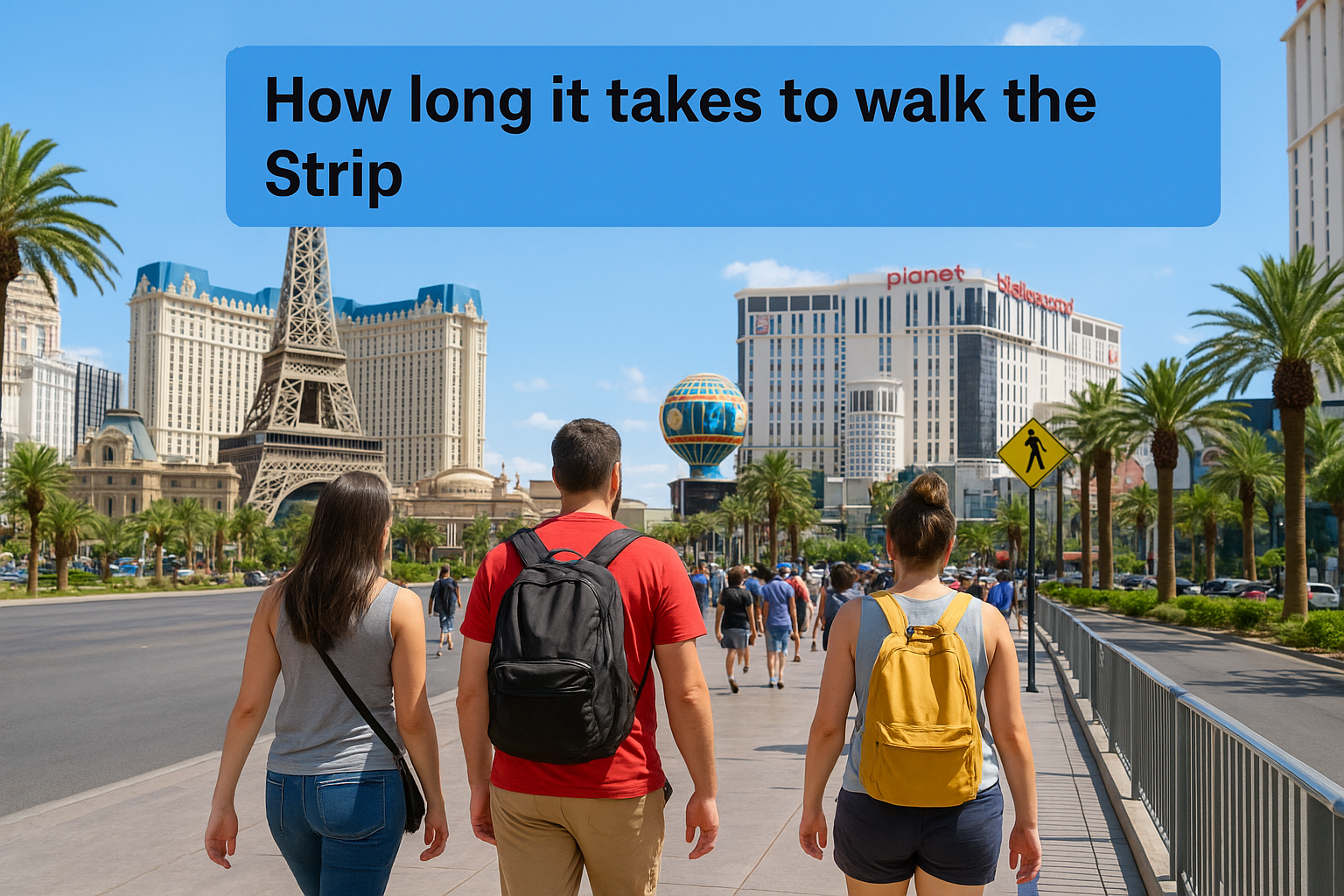
Walking the full 4.2 miles takes most people between 90 minutes and 2 hours at a steady pace with no stops. That’s the optimistic version. Add casino visits, photo stops, and crosswalk detours, and three to four hours passes quickly regardless of how long is the Las Vegas Strip on paper.
If you walk the corridor straight through
A steady walker covers the full 4.2 miles in roughly 80 to 90 minutes without entering any properties. That pace assumes comfortable walking shoes and moderate temperatures. Desert heat in summer pushes that time up because you slow down whether you intend to or not, and shade is limited along most of the boulevard sidewalk.
Walking the Strip in summer without a plan for cooling off inside properties is a mistake most first-timers make once.
If you stop at casinos and attractions
Most visitors stop at three to five major properties along the route, which realistically adds 30 to 45 minutes per stop. Factor in the Bellagio fountains, the indoor attractions at The Venetian, or a sit-down meal, and a full Strip walk becomes a five to six-hour commitment for a typical tourist day.
Practical tips for exploring without wasting time
Once you understand how long is the Las Vegas Strip, planning your route strategically saves more energy than any shortcut on the map. The biggest mistake visitors make is jumping between properties without a clear direction, which turns a manageable corridor into a tiring back-and-forth shuffle.
Picking a starting point and moving in one direction saves more energy than any other single decision you make on the Strip.
Start from one end and move in one direction
Pick either Mandalay Bay or the STRAT as your starting point and walk in a single direction. Doubling back adds distance fast. If your hotel sits in the middle of the corridor, walk south in the morning when temperatures are cooler, then head north in the afternoon.
A few habits that experienced Strip walkers follow:
- Enter casino-resorts on the side closest to your next destination
- Use elevated pedestrian bridges over waiting at street-level crossings
- Schedule heavy meals at a midpoint property, not at the very start or end
Know when to skip the walk entirely
Rideshare apps and the Las Vegas Monorail both cover long gaps quickly. When two properties sit more than a mile apart, a short ride makes more sense than burning energy on the sidewalk.
Use these options to skip stretches without missing anything:
- South-to-north jumps work well with rideshares once you’ve already covered your target section on foot
- The Monorail stops at MGM Grand, Bally’s, and the STRAT for fast east-side access between properties
Final takeaways for planning your route
Understanding how long is the Las Vegas Strip gives you a real advantage when building your itinerary. The 4.2-mile corridor runs from Mandalay Bay to the STRAT, and the walk takes most people three to five hours when stops are factored in. Pick one end as your starting point, move in a single direction, and use rideshares or the Monorail to skip long stretches when your energy runs low.
If you want to cover more ground without the guesswork, a guided tour handles the logistics for you. Another Side Tours designs routes that hit the right landmarks at the right times, so you spend your energy on the experience rather than the navigation. Our Las Vegas private tours give you expert local guidance and custom itineraries built around what you actually want to see. Book your spot and show up ready to enjoy Las Vegas the right way.